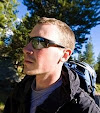
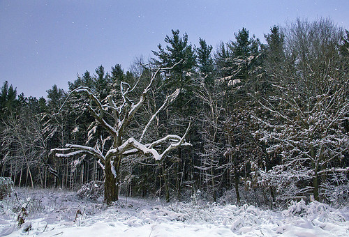
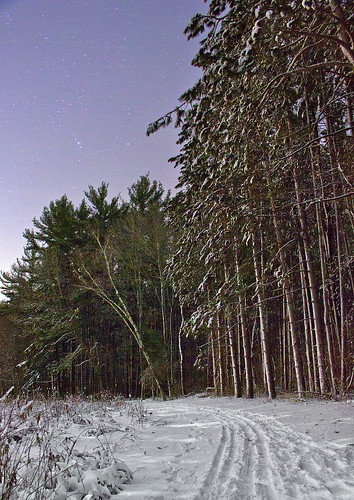
A few time-lapse night photos taken after a moon-lit cross-country ski run through the University of Wisconsin Arboretum in early December.
Wednesday, December 22, 2010
Thursday, December 16, 2010
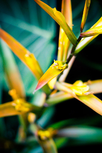
Rainforest Botanicals
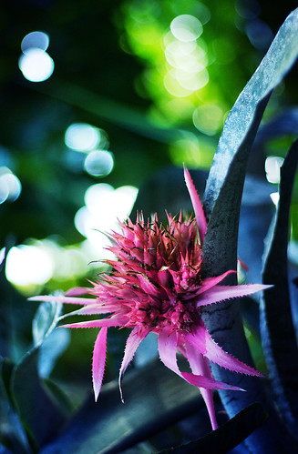
A total of 40 to 75% of all species on the world's habitats are indigenous to the rainforests. It has been estimated that many millions of species of plants, insects, and microorganisms are still undiscovered. Tropical rainforests have been called the "jewels of the Earth", and the "world's largest pharmacy", because over one quarter of natural medicines have been discovered there. Rainforests are also responsible for 28% of the world's oxygen turn over, often misunderstood as oxygen production, processing it through photosynthesis from carbon dioxide and storing it as carbon through biosequestration.

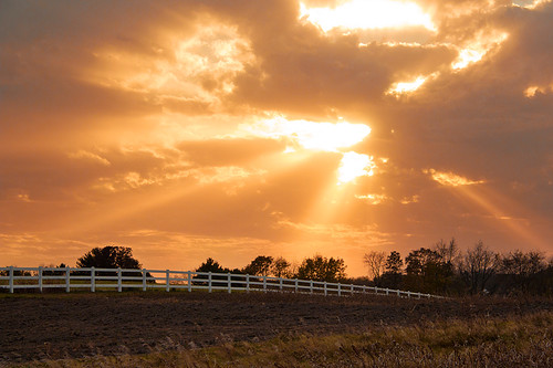
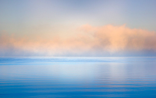
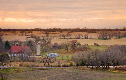
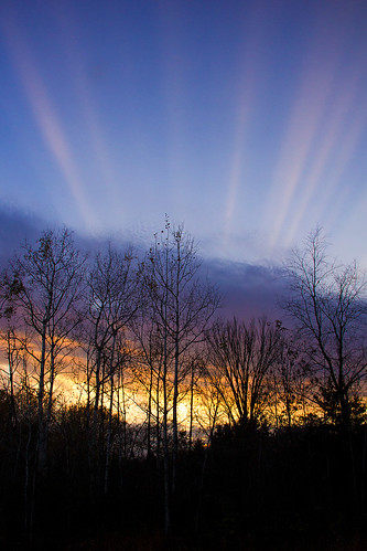
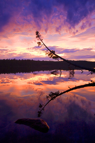
Winter Sunset
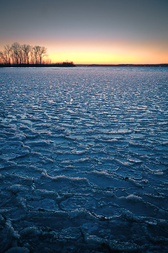
Lakes freeze from the top down, because ice is less dense than water, which is why ice floats. The density of liquid water is determined by its temperature, and water is most dense at about 40 F.
Why is that important? As winter sets in, lakes lose energy to the atmosphere, and water near the surface cools, becomes more dense, and sinks. Warmer, less dense water under the surface will rise to replace this surface water. When the entire lake reaches 40 F, the surface water cools further, dropping below 40 F. Because this water is now less dense than the surrounding water, it will stay on the top and continue to cool.
Once the surface water falls to 32 F, it freezes. The freezing then spreads downward into the lake and the ice thickens. Unless the lake is very shallow, you will find liquid water below the ice. This deeper water is about 40 F; fortunately fish can live in this cold temperature.
Freezing first occurs along the shoreline, where the water is shallow. Before ice can form on the surface, the entire water column must first reach 40 F, which is likely to first occur along the shoreline.
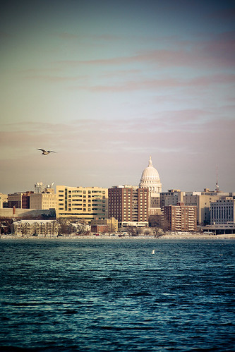
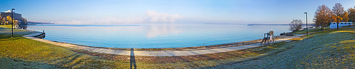
Thursday, December 9, 2010
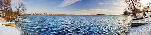
Cooling Waters
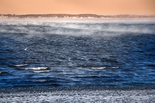
Part of my frequent documentation of Lake Mendota freezing over on my daily commute to work.
November Supercell Passage
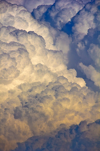
A photo from a late-November batch of supercell's which rolled over Southern Wisconsin on an unseasonably warm winter day. This cell cluster produced hail, downpours, locally damaging winds, and a confirmed tornado. Luckily I was out and about on lunch to be able to capture the back face of the storm as it blew over Madison.
Wednesday, December 1, 2010
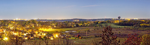
The Milky Way from The Heart of Madison
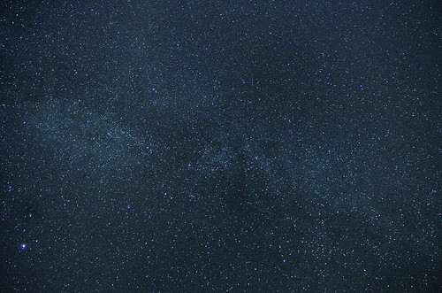
Despite the light pollution from an area with over 230,000 people, the Milky Way shows up surprisingly well from the fairway of a local golf course. Click photo to view larger version on black.
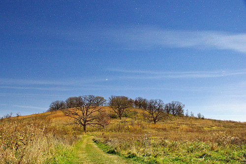
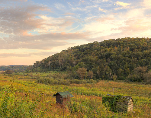
Pope Farm Park
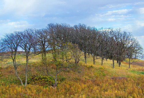
About every 100,000 years, for much of the last million years, huge glaciers called ice sheets have expanded to cover much of northern North America. About 26,000 years ago, the most recent of these glaciers, called the Laurentide Ice Sheet flowed southward through the Lake Superior and Lake Michigan regions and into Wisconsin. Although glaciers have probably covered this park several times, geologists recognize evidence here for only the most recent glaciation, the Wisconsin Glaciation. By about 10,000 years ago the ice sheet had melted back to the Lake Superior area.
The terminal moraine at Pope Farm Park, just west of Madison - was formed as the glacier stalled, and built up this ridge in a conveyor-like method - transporting boulders and gravel to this location before slowly melting away towards Canada.
The terminal moraine at Pope Farm Park, just west of Madison - was formed as the glacier stalled, and built up this ridge in a conveyor-like method - transporting boulders and gravel to this location before slowly melting away towards Canada.
Tuesday, November 30, 2010
Pheasant Branch Encampment Moonlight
Time-lapse photos from a clear October night, lit by a near-full moon.


Wednesday, October 27, 2010
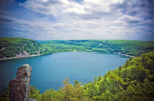
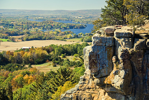
Rozno's Meadow at Devils Lake
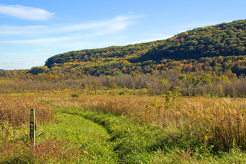
Following the Ice Age National Scenic Trail through Roznos Meadow in the valley carved by the ancient Wisconsin River, which was then filled by glacial sediment and a terminal moraine at the end of the last Ice Age, 12,000 years ago.
Friday, October 22, 2010
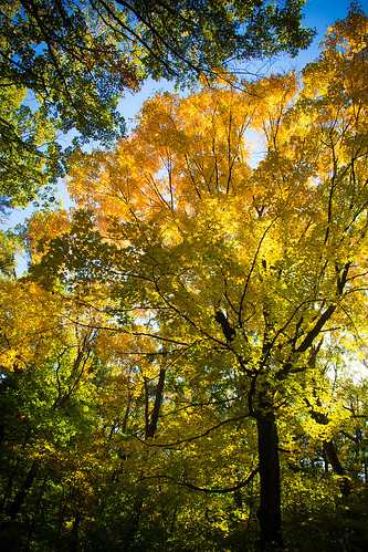
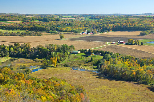
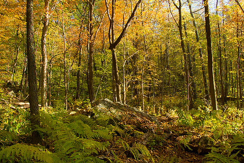

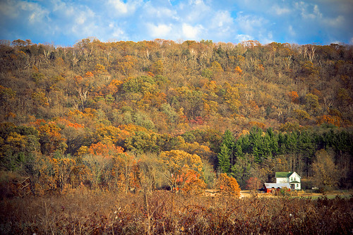
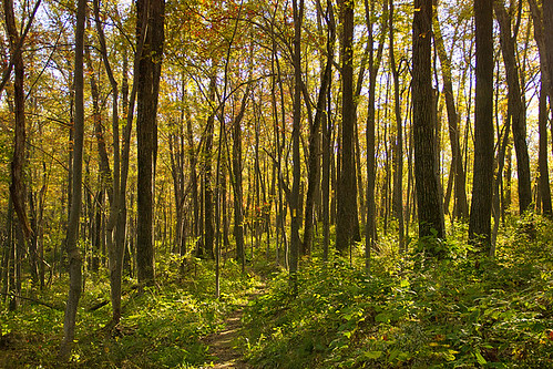
Shades of Wisconsin Autumn
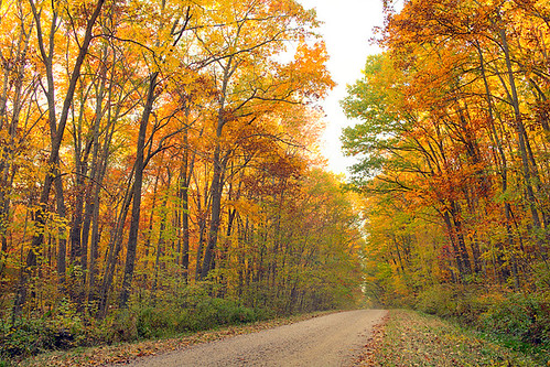
Wisconsin Fall Colors, originally uploaded by jw_creations.
Shot on a gravel road leading into Devils Nose State Natural Area.

Tuesday, October 5, 2010
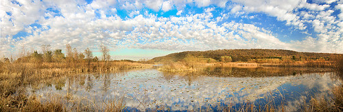
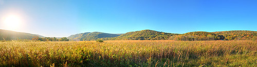
360 Panorama - Pleasant Valley Conservancy
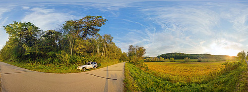
360-degree stitched panorama from a road near the Pleasant Valley Nature Conservancy, near Black Earth, Wisconsin.
This image was made of 48 individual photos, each at 18-megapixel, resulting in an original image over 800-megapixels! I do have a Quicktime MOV file where this is mapped on a sphere, and you can pan up/down & left/right to interact with it as if you were standing on this road. Email me at jonahwestrich@gmail.com if you'd like me to send it to you (it's about 4MB).
Friday, September 24, 2010
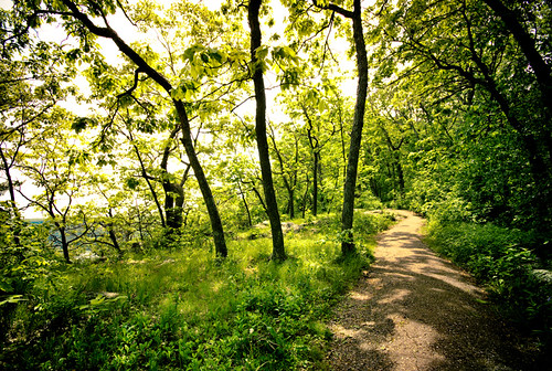
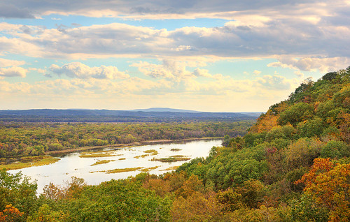
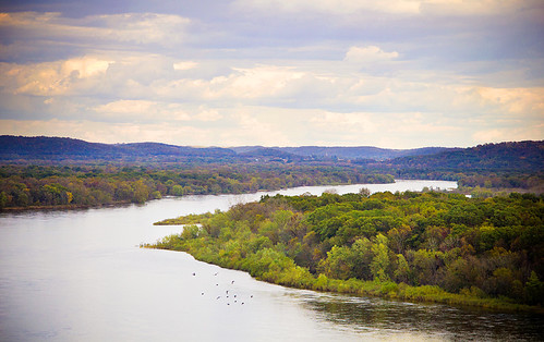
Ancient River Valley
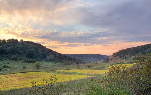
The ancient sediment-filled river valley home to the Pleasant Valley Conservancy State Natural Area near Black Earth, Wisconsin.
Thursday, September 23, 2010
Friday, September 3, 2010
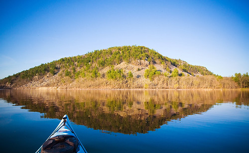
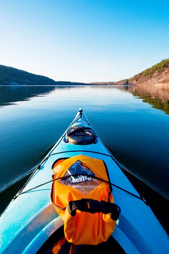
Boundary Waters Canoe Area Wilderness
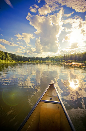

The lakes of the BWCAW are located in depressions formed by differential erosion of the tilted layers of the Canadian Shield. For the past two million years, massive sheets of ice have repeatedly scoured the landscape; the last glacial period ended with the retreat of the Laurentide Ice Sheet from the Boundary Waters about 17,000 years ago.The resulting depressions in the landscape later filled with water, becoming the lakes of today.
Many varieties of Precambrian bedrock are exposed, including granite, basalt, greenstone, gneiss, as well as metamorphic rocks derived from volcanic and sedimentary rocks. Greenstone of the Superior craton located near Ely, Minnesota is up to 2.7 billion years old, some of the oldest exposed rock in the United States. Igneous rocks of the Duluth Complex comprise the bedrock of the eastern Boundary Waters. Ancient microfossils have been found in the banded iron formations of the Gunflint Chert.
Check this link for more info: http://en.wikipedia.org/wiki/Boundary_Waters_Canoe_Area_Wilderness
Subscribe to:
Posts (Atom)