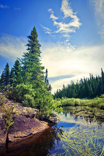

The lakes of the BWCAW are located in depressions formed by differential erosion of the tilted layers of the Canadian Shield. For the past two million years, massive sheets of ice have repeatedly scoured the landscape; the last glacial period ended with the retreat of the Laurentide Ice Sheet from the Boundary Waters about 17,000 years ago.The resulting depressions in the landscape later filled with water, becoming the lakes of today.
Many varieties of Precambrian bedrock are exposed, including granite, basalt, greenstone, gneiss, as well as metamorphic rocks derived from volcanic and sedimentary rocks. Greenstone of the Superior craton located near Ely, Minnesota is up to 2.7 billion years old, some of the oldest exposed rock in the United States. Igneous rocks of the Duluth Complex comprise the bedrock of the eastern Boundary Waters. Ancient microfossils have been found in the banded iron formations of the Gunflint Chert.
Check this link for more info: http://en.wikipedia.org/wiki/Boundary_Waters_Canoe_Area_Wilderness

No comments:
Post a Comment