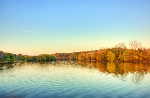
"Fifteen thousand years ago during the Wisconsin Glaciation, ice covered the Rock River Basin. The continental glacier sculptured a rolling landscape that supported thickly wooded lands interspersed with oak-savannah prairies, large wetland complexes and numerous large and small lakes. Today, threading through this rich, ecologically diverse landscape is the Rock River and its major tributaries, the Crawfish, Beaver Dam, Oconomowoc, Bark, and Yahara rivers, and Turtle Creek.
The Rock River Basin covers 3,777 square miles and is located in ten counties: most of Dodge, Dane, Rock and Jefferson and parts of Washington, Fond du Lac, Walworth, Columbia, Waukesha and Green Lake counties.
Wisconsin archaeological records indicate that areas of the Rock River Basin were inhabited by the Woodland culture 3000 years ago. These people were 'mound builders' who left their mark on the landscape near waterways by building effigy mounds shaped in the forms of birds and animals. At one time the mounds were prolific, numbering more than 1,500 in Jefferson County alone."
Thursday, January 21, 2010
Rippled Rock River Reflections
Subscribe to:
Post Comments (Atom)

No comments:
Post a Comment