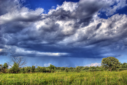
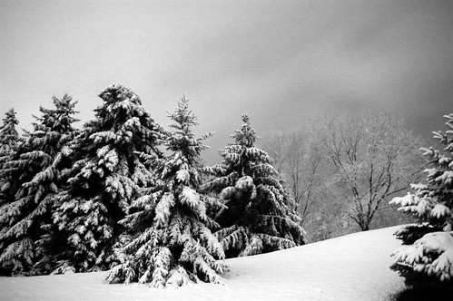
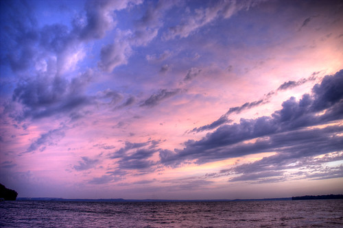
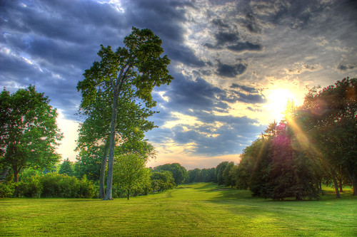
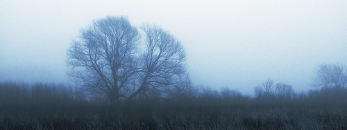
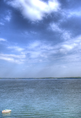
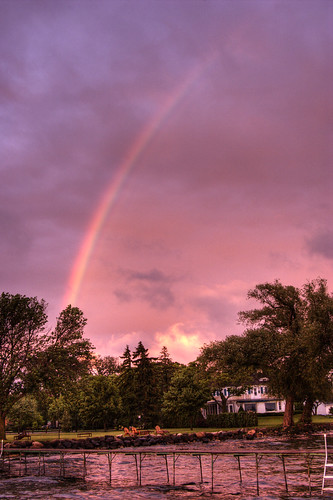
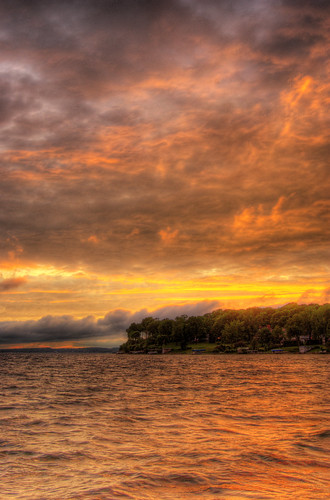
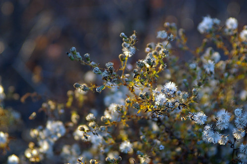
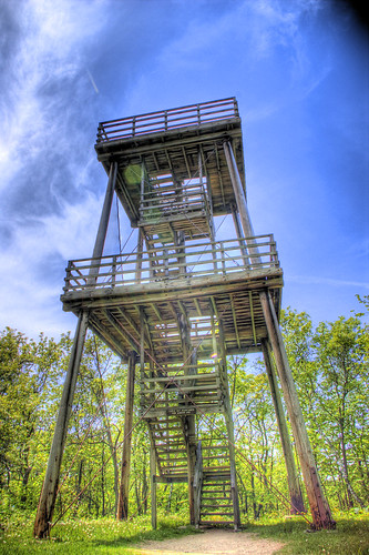
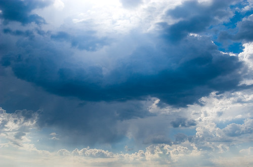
As the sun dips, the color rises.
Friday, December 28, 2007
Thursday, December 27, 2007
Golden Sundog
22° halos form when the sky contains millions of poorly oriented ice crystals. Some of these happen to be aligned perpendicular to the sun light as viewed by one observer which produces the illuminated 22° circle, while other crystals produces the same phenomenon for other observers.
Like other ice halos, 22° halos appear when the sky is covered by thin cirrus clouds containing the ice crystals which causes the phenomenon. Small colourful coronas much nearer the sun produced by water droplets can occasionally be confused with 22° halos. -Wikipedia
Wednesday, December 19, 2007
Sunday, December 16, 2007
Thursday, December 6, 2007
Monday, December 3, 2007
Sunday, December 2, 2007
Wednesday, November 28, 2007
Friday, November 23, 2007
Natural Bridge State Park
Natural Bridge and Rockshelter contains the largest natural bridge known in Wisconsin, created by wind erosion and weathering of the sandstone. The arch measures 25 feet in width and 15 feet in height on its inside dimensions. The top is 35 feet above ground level. At the base of the sandstone bridge is a rockshelter 60 feet wide and 30 feet deep. A partial excavation at the site revealed Woodfordian and Archaic inhabitant artifacts with earliest estimates of human occupation between 9000 and 8000 B.C. Animal remains identified include 15 mollusk species and 50 vertebrate species. Of special interest are the remains of passenger pigeon, turkey, elk, wolf, bobcat, fisher, marten, and mountain lion. The surrounding uplands are wooded with oak and other hardwoods. Small prairie remnants with Indian grass, little blue-stem, grama grasses, and cactus occur on the ridge tops. The shaded cliff community contains many unusual plant species including walking fern, slender lip fern, and two rare species - cliff goldenrod (Solidago sciaphila), and purple cliffbrake (Pellaea atropurpurea). Natural Bridge and Rockshelter is owned by the DNR and was designated a State Natural Area in 1973.
Thursday, November 8, 2007
Purple Quartzite
The quartz grains that formed the original sandstone appear to have come largely from erosion of the Penokean Mountains to the north. These mountains formed about 1.85 billion years ago in the Early Proterozoic Eon, and the sandstone seems to have been laid down in the subsequent 200 million years. This was then subducted into the earth where pressure and heat transformed before after millions of years it rose to the surface as the colorful quartzite we see today.
Sunday, November 4, 2007
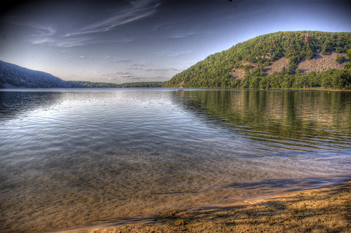
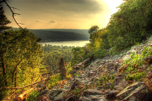
The Colors of Nature
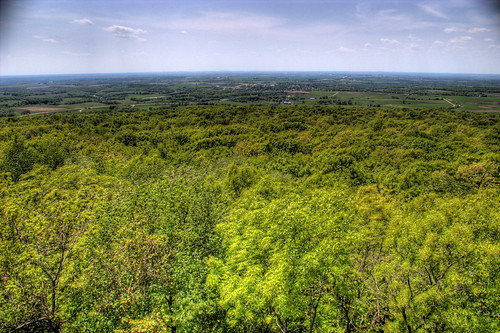
From the East bluff trail at Devil's Lake, Lake Wisconsin is clearly visible to the east. You can view the full-size original by adding me a contact on Flickr, and then by clicking the 'All Sizes' button.
Thursday, November 1, 2007
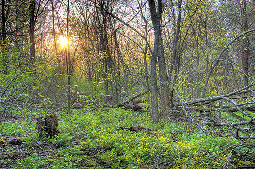
Skeleton Hauntings
The skeleton-like limbs of leafless trees hung eerily over this moody wooded path.
Friday, October 26, 2007
Saturday, September 22, 2007
Thursday, September 20, 2007
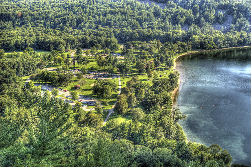
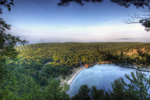
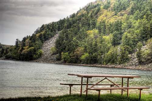
Perfect Day for a Picnic
Looking down towards the South Shore at Devil's Lake State Park, Wisconsin.
Wednesday, September 19, 2007
Tuesday, September 18, 2007
Wednesday, September 12, 2007
Rocky Arbor State Park
Rocky Arbor State Park is a 231 acre Wisconsin state park in the Wisconsin Dells region. The park was established in 1932 to protect sandstone outcrops eroded into picturesque walls and ledges.
The region is formed from Late Cambrian sandstone deposited 500 million years ago at the bottom of shallow inland seas. Much later the Wisconsin River flowed over this tract of land, carving channels into the sandstone. The river has since changed course, now running 1.5 miles to the east, leaving the rock walls of its former gorge exposed. A small creek now flows through the park, though in the opposite direction as the river once did.
Tuesday, August 21, 2007
Wednesday, July 25, 2007
Tuesday, July 17, 2007
Tuesday, July 10, 2007
Above the World
Looking east from the West Bluff of Devils Lake miniaturizes beach-goers and the park pavilion. Climbing several hundred quartzite steps and hiking hundreds of feet of steep path lead to this outlook, which surprisingly is one of the lowest lookouts on this trek.
The other photos of Devils Lake were shot from the beach, below, and from the adjacent side of the lake, the East Bluff Trail.
Tuesday, July 3, 2007
Indian Lake State Park

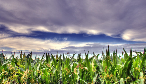
Indian Lake Park lies at the edge of the un-glaciated or 'drift-less' area of southwestern Wisconsin. Here, features of both glaciated and un-glaciated land are prominent. The steep slopes of exposed rock indicate that this valley was never completely covered with ice. Yet the large boulders found in the draws and on the valley floor could only have been brought here by a finger of ice, which fanned out from the main body of the glacier.
Indian Lake is one of many shallow kettle lakes in this area, created when the glacier retreated. The out-wash plain by the lake was formed when glacial melt-water carried large quantities of silt and sand into the valley.
Plant life at Indian Lake is very diverse. The cool north-facing slope along the lake is dominated by paper birch, while on the hilltops ancient gnarled oaks are being crowded by younger hardwoods. An abundance of brambles and aspens indicate logging and grazing once took place in the woods.
For several hundred years Indians camped at the southwest end of the lake. During that period, the slopes on the hills above were quite open and covered with prairie grasses and wildflowers. Frequent fast-moving prairie fires helped keep these areas free of trees. When settlers stopped the fires, trees began to fill in the open spaces. Today only a few small patches of prairie remain on the very dry southwest-facing slopes.
- Description taken from Dane County Natural Historical Marker (see photo in set)
Friday, June 22, 2007
Thursday, June 14, 2007
The Amphibian
Amphibians are classified as a species of animals that include all living tetrapods (four-legged vertebrates) that do not have amniotic eggs (which is the innermost membrane which encloses the embryo of a mammal, bird, or reptile), have bodies which are regulated by the environment (i.e. cold-blooded), and generally spend part of their time on land. Another well-known trait is the ability of amphibians to breath through their skin.
Although only around 6,000 species exist and have been documented, dramatic declines in amphibian populations, including population crashes and mass localized extinction, have been noted and observed over the past two decades in locations all around the globe. Many scientists believe that because of the amphibian sensitivity and vulnerability to the environment, they are thought to be one of the telltale precursors to the effect of mankind on the Earth.
Tuesday, June 12, 2007
Thursday, June 7, 2007
Wednesday, June 6, 2007
In the Clouds
It may sound odd, but fog is itself a cloud in contact with the ground, and technically only differs from other clouds in that it touches the surface of the Earth.
Fog forms when water vapor in the air at the surface begins to condense into liquid water. Fog normally occurs at a relative humidity of 100%, and this can be achieved by either adding moisture to the air or dropping the ambient air temperature. A reading of 100% relative humidity does not mean that the air can not hold any more moisture, but the air will then becomes known as supersaturated.
Tuesday, June 5, 2007
Lake Monona
This body of water of water known as Lake Monona is a freshwater drainage lake in Dane County, Wisconsin. It is the second largest in a chain of four lakes along the Yahara River (the other lakes being Mendota, Kegonsa, and Waubesa) in the area, and forms the south shore of the isthmus on which downtown Madison lies. The name 'Monona' is a Chippewa word believed to mean 'beautiful', although the lake was originally named by the Winnebago 'Teepee Lake'.
Lake Monona covers 3,274 acres and has a mean depth of 27 feet and a maximum depth of 64 feet. On average the lake holds about 28 billon gallons of water and is fed by three tributaries (small rivers or streams); the Yahara River, Starkweather Creek, and Murphy Creek. Monona is also home to many fish species including bluegill, lake sturgeon, largemouth bass, smallmouth bass, muskie, northern pike, and walleye.
Interesting also is that Otis Redding and a few crewmembers ("Sitting on the Dock of the Bay") died when his plane crashed in Lake Monona on December 10, 1967 during a storm en route to a concert in Madison.
Thursday, May 31, 2007
Optical Phenomena
Rainbows can be observed whenever there are water drops in the air and sunlight shining from behind the observer at a low altitude or angle. Although more rare, a moonbow, or lunar rainbow, can be seen on strongly moonlit nights. However since human visual perception for color is poor in low light, moonbows are most often perceived to be white.
The rainbow's appearance is caused by dispersion of sunlight as it goes through raindrops. The light is first refracted as it enters the surface of the raindrop, reflected off the back of the drop, and again refracted as it leaves the drop. The overall effect is that the incoming light is reflected back over a wide range of angles, with the most intense light at an angle of 40°–42°. The angle is independent of the size of the drop, but does depend on its refractive index, or how much a material bend's light which passes through it's boundary. Seawater has a higher refractive index than rain water due to salt minerals, so the radius of a 'rainbow' in sea spray is smaller than a true rainbow. This is visible to the naked eye by a misalignment of these bows.
A rainbow does not actually exist at a particular location in the sky. It is, instead, an optical phenomenon whose apparent position depends on the observer's location and the position of the sun. A rainbow does not actually exist at a particular location in the sky. It is, instead, an optical phenomenon whose apparent position depends on the observer's location and the position of the sun.
Tuesday, May 29, 2007
Fire in the Sky
The red color in the sky at sunset (and sunrise) is due to an effect called Rayleigh scattering. There is a similar form of scattering called Mie scattering, which is responsible for the white color of clouds.
Particles in our atmosphere that are approximately the same size as the wavelength of visible light cause the white light from the sun to scatter and split into individual components. Oxygen and Nitrogen (the main components of our atmosphere) scatter violet and blue light due to their small size. This is why the sky appears to be blue in the daytime, especially at mid-day when the Sun is closest to us.
During sunrise and sunset the distance that the light has to travel from the Sun to an observer is at its greatest. This means the a large amount of blue and violet light has been scattered so the light that is received by an observer is mostly of a longer wavelength and therefore appears to be red.
Thursday, May 24, 2007
Wednesday, May 23, 2007
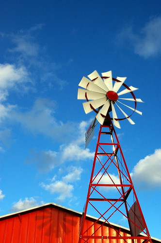
Non-functional Windmill
This was a cool shot and I was surprised how nicely it came out despite the fact it was just a quick snap out the mini-van window while stuck in traffic in Fort Wayne, Indiana.
As for a little known (or unknown) history on Fort Wayne, the city has historically served as a transportation and communications hub due to the fact it's nearly equidistant from Chicago, Cincinnati, and Detroit and has served as an incubator for many companies and products.
Fort Wayne is named after Gen. "Mad" Anthony Wayne. The United States Army built this last in a series of forts near the community of Kekionga, the largest of all Miami villages (the Miami nation established the first settlement in the mid-17th Century), which is located where the St. Joseph River and St. Mary's River join to form the Maumee River.
Beside its "Summit City" nickname, Fort Wayne also is informally called the "City of Churches" by some of its residents; a nickname that stretches back to the late 1800s when the city was the hub of regional Catholic and Lutheran faiths. Until the building of the Lincoln Bank Tower in 1929, church and cathedral spires dominated the city's skyline. Fort Wayne is also known as the "City of Restaurants" (with over 600 in and around the city) - and serves as a sort of "testing grounds" for new franchises before branching out across the country.
Tuesday, May 22, 2007
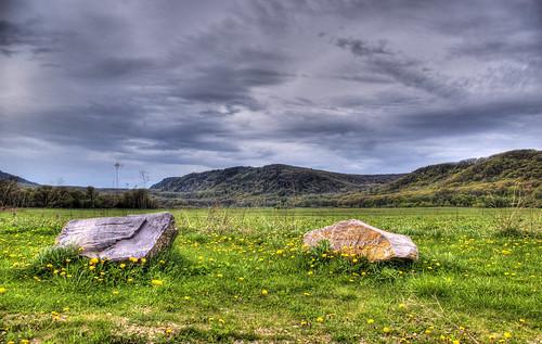
Blue Mound State Park
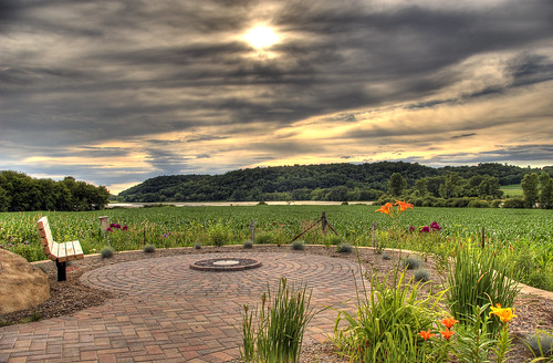
After hiking nearly an hour through dense woods at Blue Mound State Park, the trees lifted and skies widened.
Blue Mound State Park is the highest point in Southern Wisconsin. 2-billion years ago this area comprised the “roots” of an ancient mountain range and gradually, these mountains were eroded down to rolling granite plains wind, rain, ice, and inland sea's.
As Wisconsin terrain warped up and down repeatedly, extensive inland oceans alternately flowed into and retreated from the area. In the process, sand and soft limy sediments were deposited on top of the granite. The first sea covered the area more than 1 billion years ago, and the last (the Silurian Sea) about 400 million years ago.
Eons of cementation and pressure changed the sands and limy sediments into sandstone’s and limestone’s. Most of Wisconsin, Illinois, Iowa, and Minnesota once looked much the same until a series of four glaciers inched their way across the North America thousands of years ago. Massive sheets of ice peeled off hilltops and filled in valleys from Canada to Kansas, leaving a vast, flat expanse in their wake.
Due to certain geological quirks of fate, southwestern Wisconsin was bypassed and encircled by the four glaciers. The area, therefore, stands as an island of hills and valleys amid surrounding plains. The term “Driftless Area” is given to this region because it is devoid of drift or the accumulated rock and soil left by retreating glaciers.
Friday, May 18, 2007
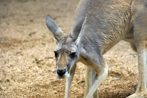
Kangaroo
If you didn't know, kangaroo's have long been regarded as strange animals. Early Australian explorers described them as creatures that had heads like deer (though without antlers), stood upright like men, and hopped like frogs!
Like all marsupials, female kangaroos have a pouch called a marsupium in which joeys complete postnatal development. Kangaroo's are also the only large animal to use hopping as a means of locomotion. Comfortable speeds are around 15mph, but speeds up to 44mph can be attained for short distances. Also, because of large feet, kangaroo's can't walk, but instead must use their muscular tail to form a tripod to move at slow speeds.
This photo is part of a much larger set from the Atlanta Zoo; which is also part of a 5-set collection documenting a trip last summer tourinbg New Orleans and the Gulf of Mexico.
You can see the collection here: http://flickr.com/photos/crisp_air/collections/72157600176131056/
Cheers!
Thursday, May 17, 2007
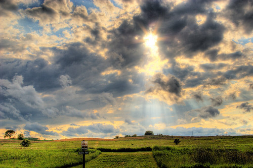
Exit Here!
After shooting a full set of HDR photos at local Governor Nelson state park on the way home from work (and following heavy spring thunder-showers), I had to snap off one last picture from my car window on the drive out.
Ironically, the "Exit -->" sign points directly to the beam of sunlight!
Wednesday, May 16, 2007
Tuesday, May 15, 2007
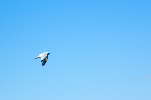
In Flight
This photo come's from a set of shot's taken last September while out boating on Lake Mendota, here in Madison, WI.
Not much more to say about this photo other than I really liked how attention is drawn to this bird. If there had been a cloud in the background it could've easily ruined this frame.
Monday, May 14, 2007
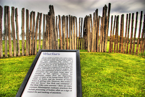
Aztalanian Warfare
"Indian people lived at Aztalan between 900 and 1200 CE. The village encompassed 20 acres and was well-planned. The inhabitants planted corn, beans and squash, hunted wild game, fished and collected native plants for food. An elite group of individuals organized ceremonies and village life. A stockade surrounded the major portion of the villade. Inside, three platform mounds and a natural knoll marked four corners of a large plaza. The village was abandoned for reasons that remain a mystery.
Aztalan is one of the most important archeological sites in Wisconsin, representing a complex life-style rarely found in the Great Lakes region: a unique blend of native and exotic cultures. Information about the site was first published in 1836, and since then the ruins have attracted considerable public and scientific interest. Archeological excavations continue to uncover valuable information about Aztalan's daily life."
Taken from the current 1991 official historical site marker at Aztalan State Park, near Lake Mills, Wisconsin.
Friday, May 11, 2007
Climber Rescue
When I arrived at Devils Lake, I was going to hike along the right side of the lake, however there was a rescue going on with several emergency vehicles - and if you view the full-size version of this shot you can see several people carrying a person out on a stretcher along the water-front. As they loaded this individual into the ambulance I could hear him yelling from across the lake.
A lot of people attempt to free climb these boulders, and every year many are injured and require rescue, and a few die.
Devil's Lake State Park is located in Baraboo, Wisconsin (just 40 miles northwest of Madison, and is situated along the Ice Age National Scientific Reserve. The nearly-10,000-acre park is home to more than 1.3 million visitors each year and has two large sandy beaches, camping, boating, hiking, fishing, and 500-foot high bluffs.
Originally as the glacier pushed and cut through the land, it piled up these hills. After the recession of ice and over the course of about 15,000 years, the soil and smaller rocks on these bluffs has been erroded away and fully exposed these exceptionally hard Baraboo Quartzite boulders.
Thursday, May 10, 2007
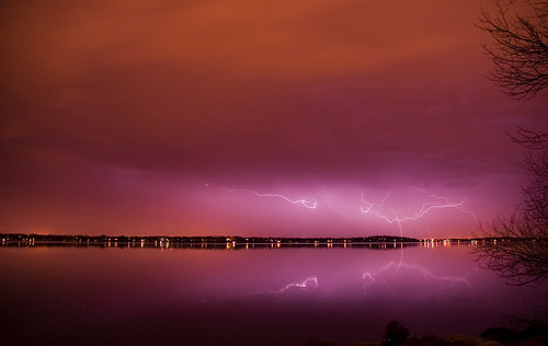
Lightning Reflections
Looking South over Lake Monona, the mirror-like lake seemingly doubles the impact of lightning bolts. Heavy, lightning laden storms are common in this part of the country during spring and summer months. This particular hail based storm system was moving to West to East just South of Madison, and thankfully missed us completely without even giving much more than a breeze.
What may seem like a single lightning strike actually "re-strikes" the same object an average of 8 to 12 times repeatedly, and is what causes the "strobe light" effect we're familiar with. A single bolt of lightning can travel at a speed of 100,000 mph, and can reach temperatures approaching 50,000°F with roughly one billion volts of electricity - enough to fuse sand into columns of glass.
On average lightning strikes the Earth 100 times a second.
Tuesday, May 8, 2007
The Next Generation
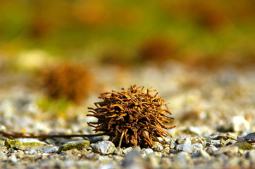
Sometimes it is the smallest objects in nature that create an opportunity for a formidable photo.
These seeds of unknown origin (anyone know?) were scattered everywhere at Fox Island Nature Reserve, in Fort Wayne, Indiana. Employing the 'sit-the-camera-on-the-ground-and-take-a-picture' technique, along with a short 18mm lens, some great lighting, and a little luck - this shot captures in extreme detail what may go un-noticed by many.
Monday, May 7, 2007
Glacial Sculpting
Just 15,000 years ago, during the last Ice Age, most of northern North America was trapped under the grip of colossal ice sheets. No where else in the U.S. are glacial marks on the land more visible than in Wisconsin. This last period over which 2/3 of the state was under ice, lasted from about 100,000 to 10,000 years ago. Amazingly, the ice sheet crept from northwestern just 10,000 years ago back into Canada.
In a sense, this region of the state is still recovering from the melting of the last glacier. As streams slowly wash away kames, eskers, moraines, and other glacial features, and as marshes, bogs, and lakes fill with sediment and organic debris, this young landscape will become transformed again long after man kind leaves the area.
Wisconsin’s legacy from the glaciers and meltwater streams of the last Ice Age is a landscape of great diversity and beauty. Wisconsin's many lakes and ponds, forested hills and ridges, and rolling farmlands remind us of a past glacier’s visit , and serve as a sign that once again everything around this area will be under a mile-high slab of ice.
Saturday, May 5, 2007
Rebuilding New Orleans
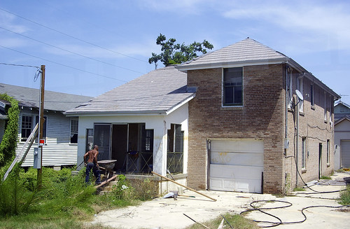
This post may be slightly against the "Crisp Air" motto of containing nothing but nature shots, but I thought this shot needed highlighted.
Shot from the Lower Ninth Ward in New Orleans just 12 months after Katrina, you can clearly see the state of disrepair that this area was in. Notice the height of the water level above the man - this brown line of sewage, petrol products and waste was visible throughout the entire New Orleans area, and one could easily decipher how far below sea level each individual home or business was.
Thursday, May 3, 2007
HDR Creek Painting
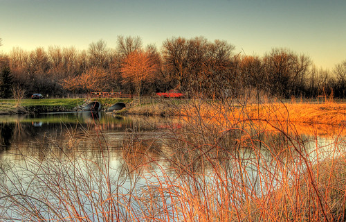
This photo was shot at a local park just North of Madison, called Tolken Creek. This Dane County park contains a creek which flows approximately 10,000 gal/sec and provides ~90% of the water which flows into our local system of lakes.
This shot is a favorite of mine not only because of the multiple objects in motion, but also because of the painted quality of colors, saturations, and contrasts. In one exposure, a fish jumped from the pond. In another, a red truck drove past. The saturated orange light on the marsh grasses is actually direct sunlight, and this photo was taken about 25 minutes before sundown.
In order to fully appreciate this image, it's best viewed by clicking on the photo directly (which takes you to the photo's Flickr page), and then click the "All Sizes" button and view the largest size.
Tuesday, May 1, 2007
The First Stage
Almost appearing heavenly, the sun breaks through the rear of another small cell passing overhead. This single storm brought just sprinkles to my position (which are visible as falling bands just underneath the base), however just 30 minutes later this contained a substantial updraft, dumping 1/2" hail in Eastern counties and land.


